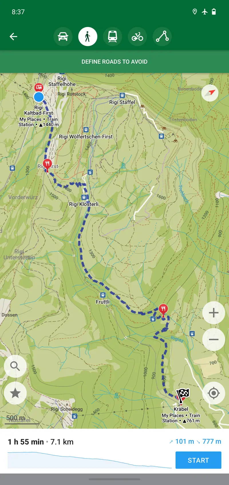
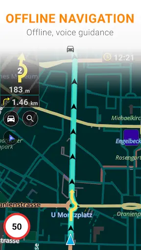
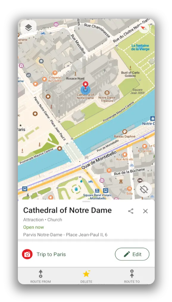
Organic Maps is a free maps and navigation app for phones that works offline and does not track its users. It is for hikers, cyclists, drivers and travellers who want turn-by-turn directions and maps based on OpenStreetMap.
OsmAnd is a map and navigation app for phones that uses OpenStreetMap data. It works fully offline once maps are downloaded, and suits drivers, cyclists and walkers.
App · GitHub · Powerful but busy interface; some features paid
CoMaps is a free map app for phones and computers that works offline and does not track users. It is for people who want hiking, cycling and driving navigation without giving up their data.
2.9kActiveIn your browserGPL-2.0Replaces partlyRuns on your own server
OpenStreetMap is the software behind the openstreetmap.org website and its editing API, where volunteers add and browse map data. It is for people who want to view, edit and contribute to a free, community-made world map.
Runs on your own server · GitHub · Web map with basic directions; no phone navigation app
None of these match. Try another device.
Before you build
Planning something for an alternative to Google Maps? See what exists first, so you can reuse parts or explain what's different. Paste this into any AI assistant:
Read the list of open-source alternatives at https://opensourceeverything.org/data/groups/maps.json. Compare it with my project or idea below. Tell me which projects overlap, what I could reuse instead of rewriting, and what mine does that none of them do.
My project or idea:
Here is a list of open-source alternatives to Google Maps, from Open Source Everything (CC BY-SA 4.0):
- Organic Maps (Apache-2.0, https://github.com/organicmaps/organicmaps; replaces fully): Organic Maps is a free maps and navigation app for phones that works offline and does not track its users. It is for hikers, cyclists, drivers and travellers who want turn-by-turn directions and maps based on OpenStreetMap.
- OsmAnd (MIT, https://github.com/osmandapp/OsmAnd; replaces fully): OsmAnd is a map and navigation app for phones that uses OpenStreetMap data. It works fully offline once maps are downloaded, and suits drivers, cyclists and walkers.
- CoMaps (Apache-2.0, https://codeberg.org/comaps/comaps; replaces fully): CoMaps is a free map app for phones and computers that works offline and does not track users. It is for people who want hiking, cycling and driving navigation without giving up their data.
- OpenStreetMap (GPL-2.0, https://github.com/openstreetmap/openstreetmap-website; replaces partly): OpenStreetMap is the software behind the openstreetmap.org website and its editing API, where volunteers add and browse map data. It is for people who want to view, edit and contribute to a free, community-made world map.
Compare it with my project or idea below. Tell me which projects overlap, what I could reuse instead of rewriting, and what mine does that none of them do.
My project or idea: